


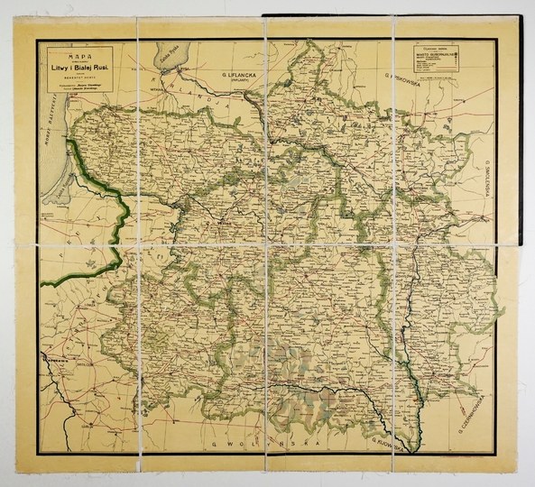
[MAP]. Map of the six provinces of Lithuania and White Russia. Color lithograph, dimensions: 79.8 x 88.3 cm.
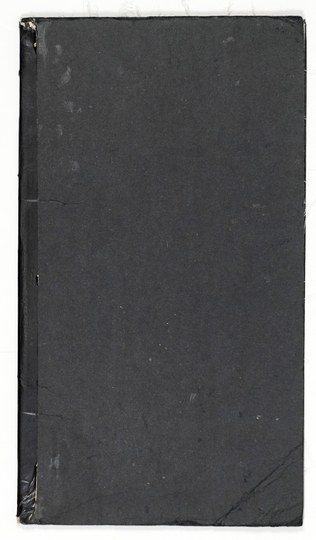
Map compiled by Benedykt Hertz, published by "Kurier Codzienny" under the auspices of Edmund Nowicki ca. 1910. Title in a frame in the upper left corner, with publication details there. In the upper right corner, a frame with a legend. The map was printed at the F. K. Ziółkowski & Co. Lithography and Printing House in Pleszew (Greater Poland). The map is cut into 8 sections glued together onto canvas, with a cardboard cover. Signature and owner’s stamp. Scuffs on the cover, minor stains on the map.





Utoljára megtekintett
A tételek listájának megtekintéséhez jelentkezz be
Kedvencek
A tételek listájának megtekintéséhez jelentkezz be