


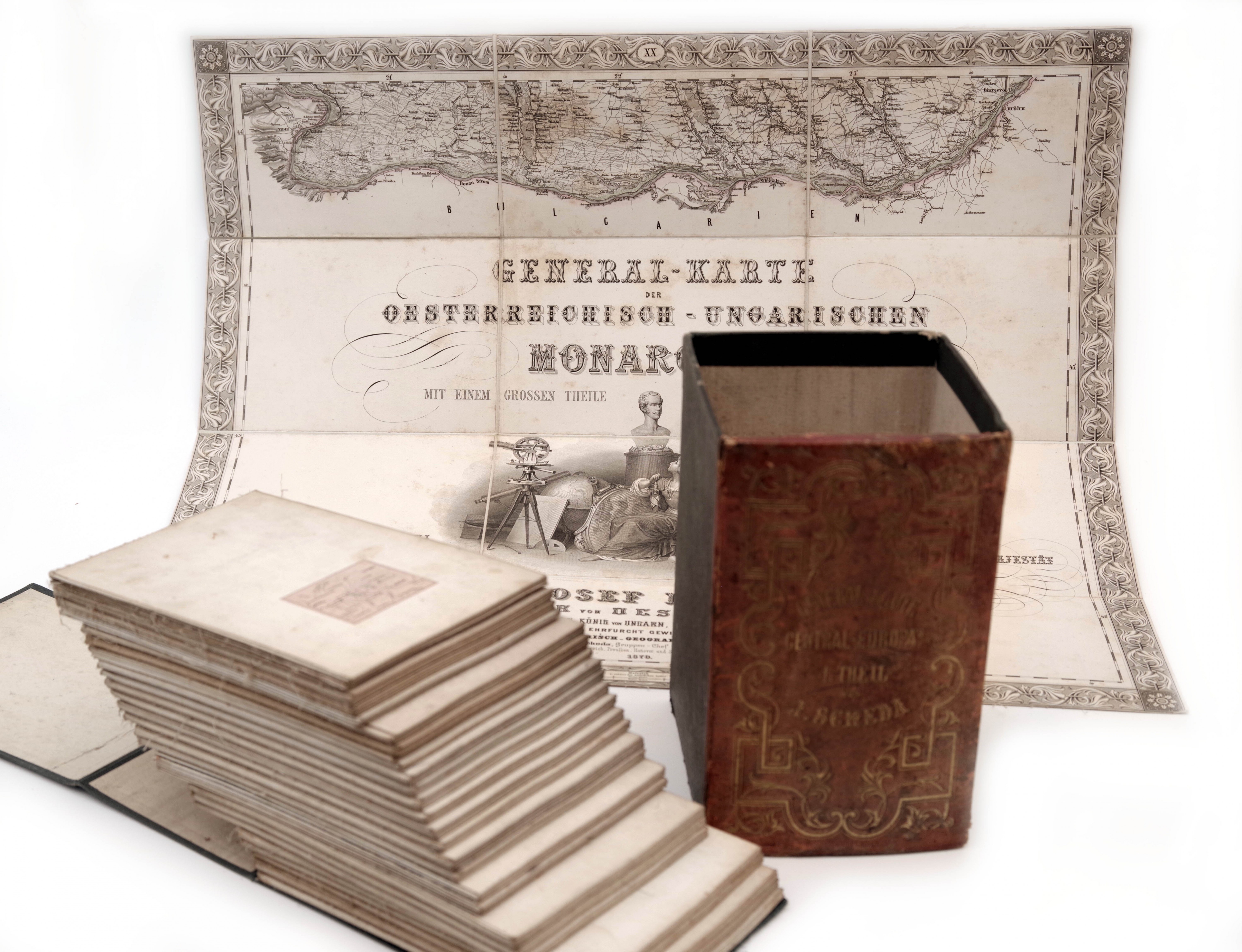
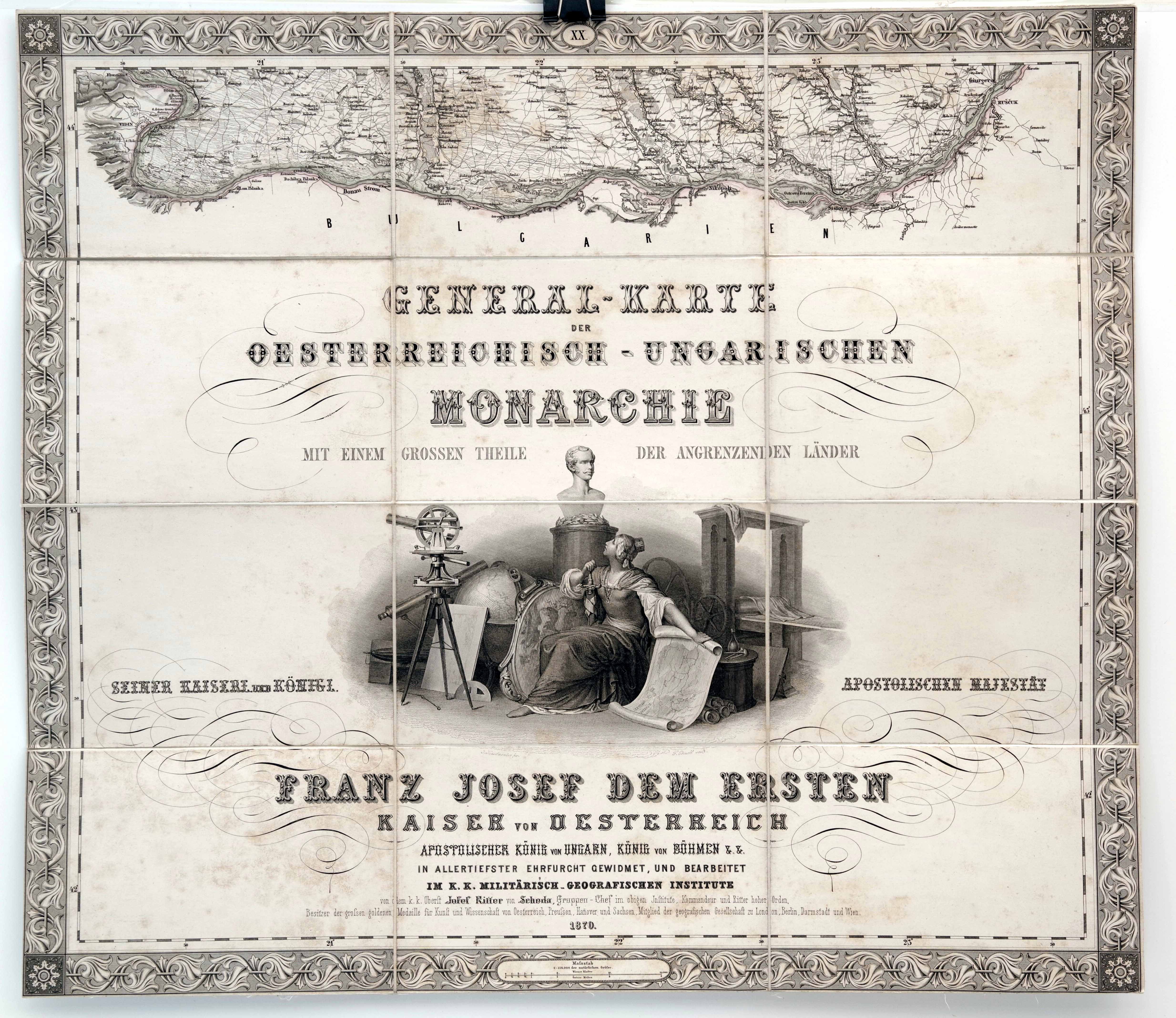
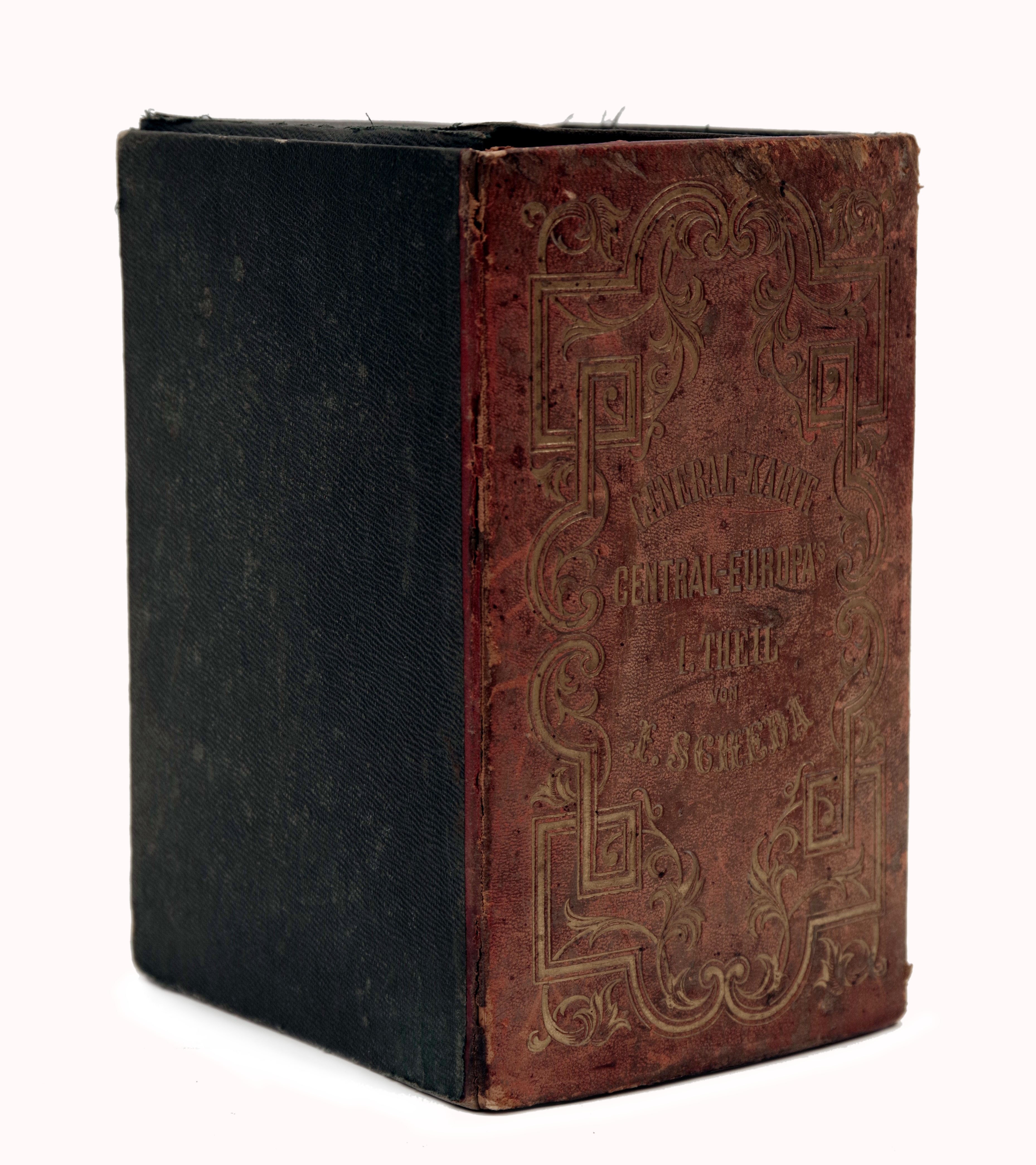
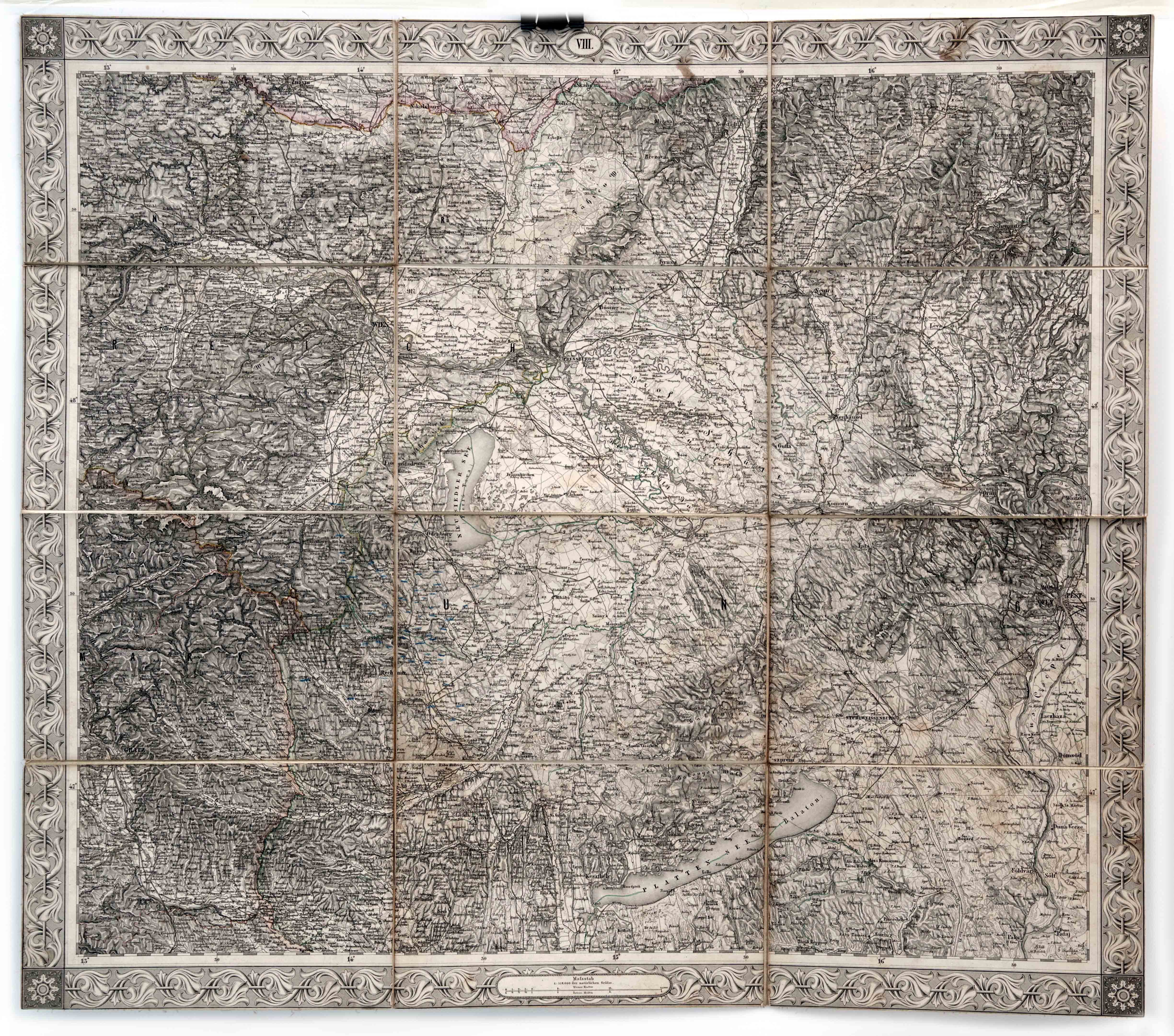
Vydání obsahuje 20 ručně kolorovaných skládacích map rakousko-uherských zemí (z tohoto počtu tři mapy schází), 9 map sousedících států, přehlednou mapu a mapu s legendou odlišného formátu. Titulní strana s názvem mapového souboru "General-Karte des Oesterreichisch-Ungarischen Monarchie mit einem grossen theile der angrenzenden Ländern" je dekorována kartografickou figurální alegorickou mědirytinou a věnováním císaři. Celý soubor je uchován v původním pouzdru s dřevěným hřbetem potažným červenou kůží se zlaceným vtlačovaným dekorem a nápisy. Rakousko-Uhersko 1870, rozměry 12 × 20 × 14 cm.Stav 2-
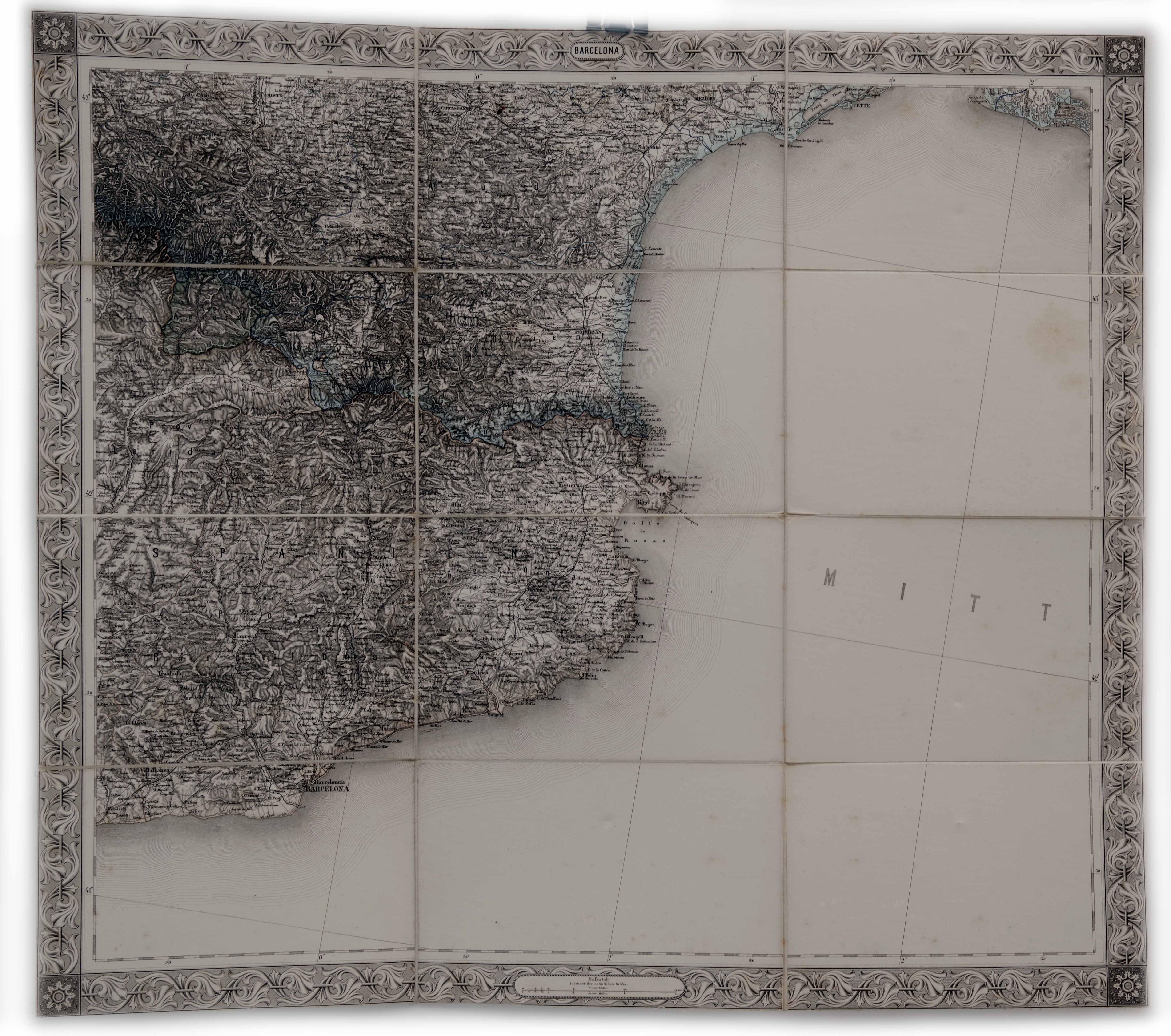
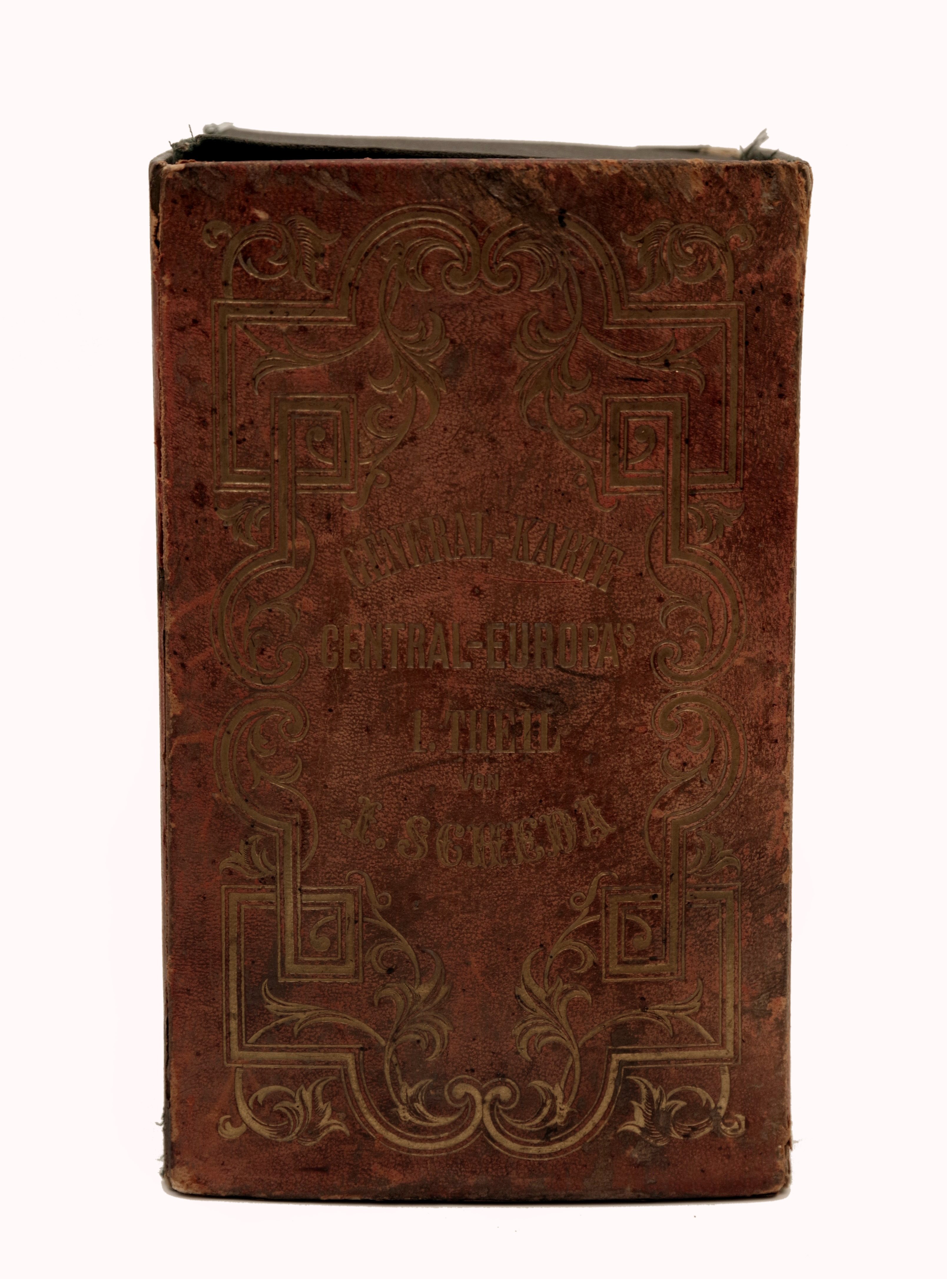
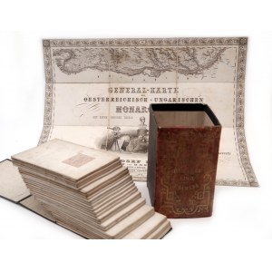
Vydání obsahuje 20 ručně kolorovaných skládacích map rakousko-uherských zemí (z tohoto počtu tři mapy schází), 9 map sousedících států, přehlednou mapu a mapu s legendou odlišného formátu. Titulní strana s názvem mapového souboru "General-Karte des Oesterreichisch-Ungarischen Monarchie mit einem grossen theile der angrenzenden Ländern" je dekorována kartografickou figurální alegorickou mědirytinou a věnováním císaři. Celý soubor je uchován v původním pouzdru s dřevěným hřbetem potažným červenou kůží se zlaceným vtlačovaným dekorem a nápisy. Rakousko-Uhersko 1870, rozměry 12 × 20 × 14 cm.Stav 2- General Map of Europe by Josef von Scheda This volume contains 20 folded hand line-colored maps of the Austro-Hungarian countries (theree of them missing), 9 maps of the bordering states, general view map and key map of various format. The title page with the name of the map file "General-Karte des Oesterreichisch-Ungarischen Monarchie mit einem grossen theile der angrenzenden Ländern" is decorated with a dedication to the Emperor and an extensive geodetic and figurative allegoric copperplate engraving. The entire collection is then stored in the original case with by red leather covered wooden spine with gilt inscription and decoration. Austria 1870, dimensions 12 × 20 × 14 cm. Condition 2-


Utoljára megtekintett
A tételek listájának megtekintéséhez jelentkezz be
Kedvencek
A tételek listájának megtekintéséhez jelentkezz be