


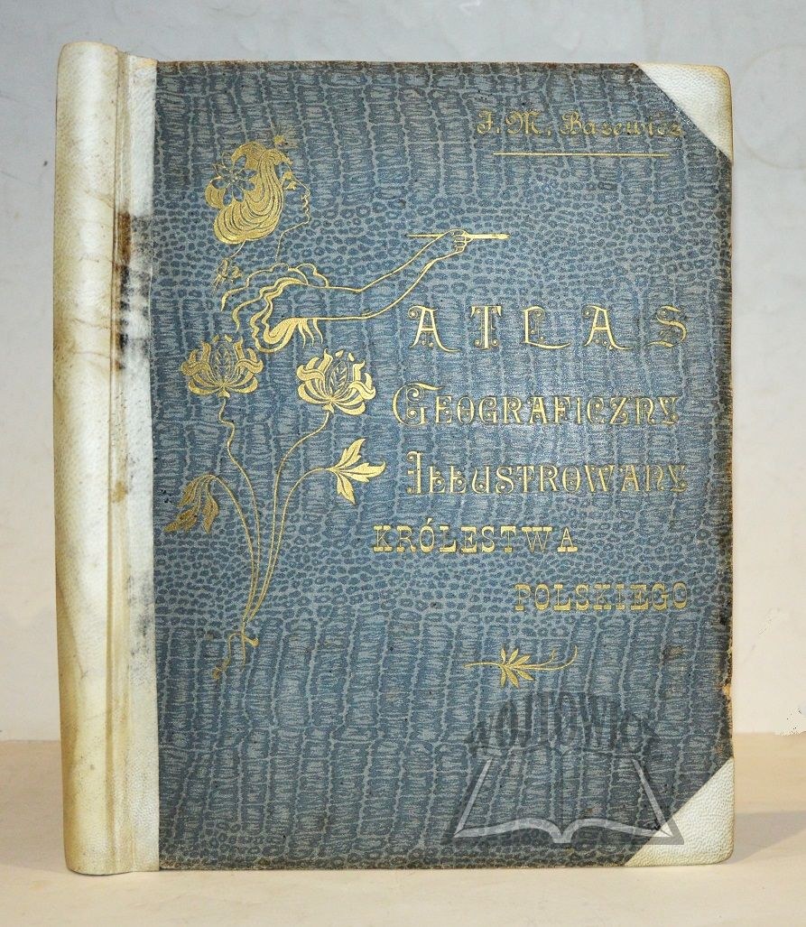
(ATLAS). BAZEWICZ J(ózef) M(ichal) - Geographical Atlas illustrated of the Kingdom of Poland.
On the basis of the latest sources compiled. Edited by (...).Warsaw 1907. published by J. M. Bazewicz. (30 x 23.5 cm), pp. [2], 118, [2], 85 lithographed color maps with views on separate plates (including 1 typeset), frontispiece in lithography, publisher's cloth binding, repaired.
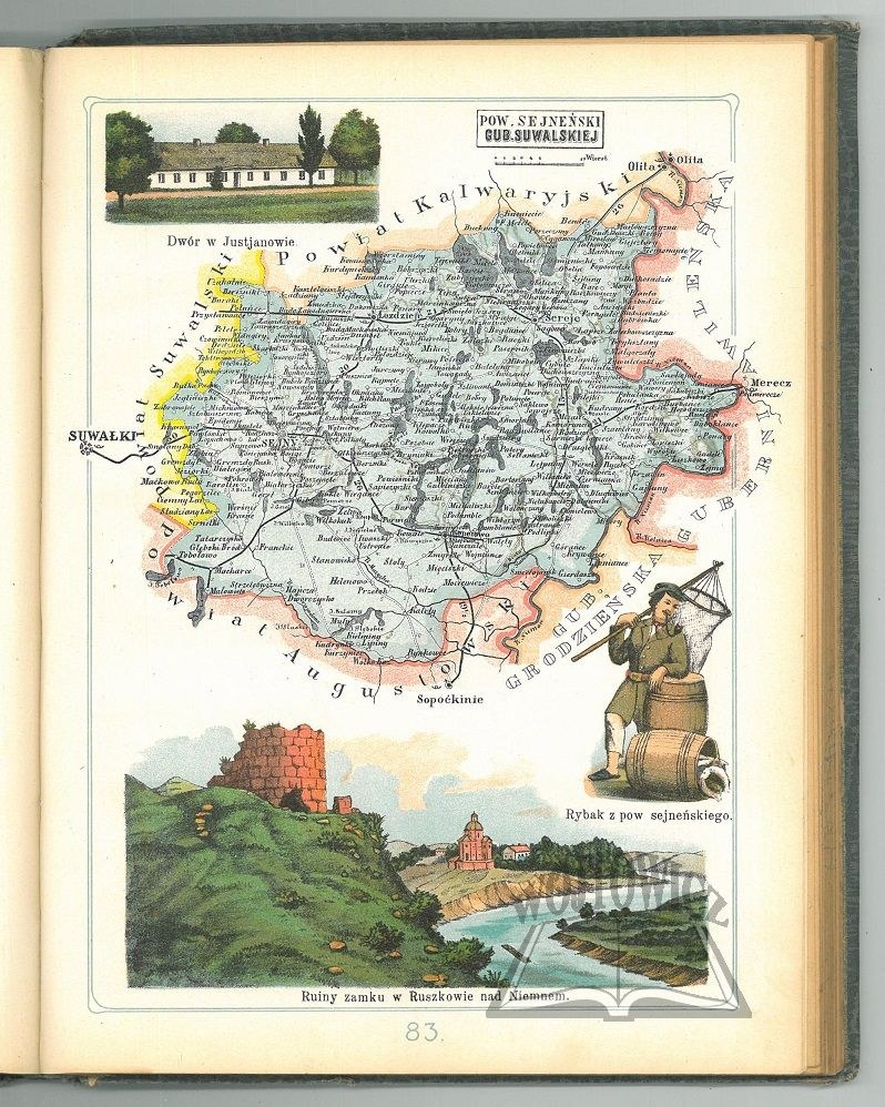
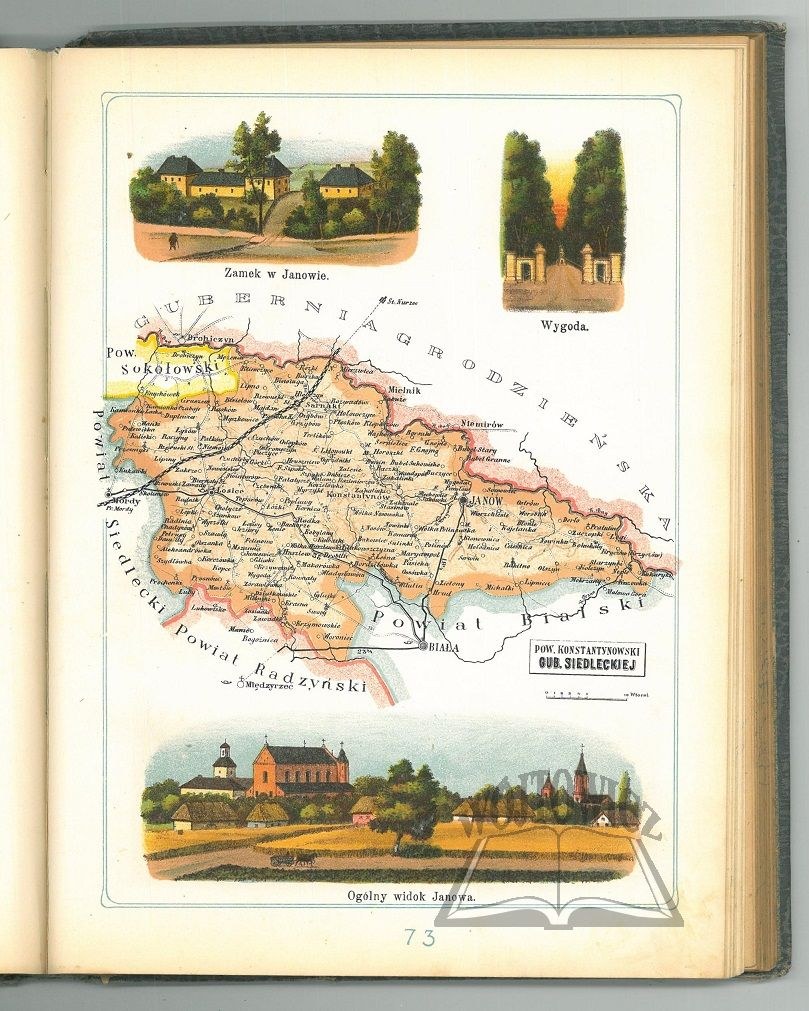
Binding with traces of rubbing and soiling, repaired spine perg. spine and corners. Wear to gilt titling on front cover. Inside, traces of non soiling. One of the most beautiful Polish atlases, compiled. and published by J. M. Bazewicz (1867-1929) - geographer, cartographer, bookseller, publisher and publicist. The cartographic section opens with a general map of the Kingdom of Poland, followed by 84 decorative maps of counties, made at the Warsaw lithographic workshop of B. A. Bukaty, signed "Lit. B. A. Bukaty, Warsaw." The maps of the counties are accompanied by colorful plans, views of characteristic places (monuments, monuments, churches, palaces, ruins of castlesd, general villages, nature monuments) and images of folk costumes from each region. The second part of the atlas is the "Description of the Kingdom of Poland to the Illustrated Geographical Atlas" (Warsaw 1907. Printed by A. Pęczalski and K. Marszałkowski) containing a brief historical-geographical sketch of each county and a index of localities. Complete Pieces.











Utoljára megtekintett
A tételek listájának megtekintéséhez jelentkezz be
Kedvencek
A tételek listájának megtekintéséhez jelentkezz be